Cyclone Akvan: IMD now forecasts landfall between Narsapur and Puri by noon on 20 November as a severe cyclonic storm
Updated 18 November, 2:30 pm: IMD now expects a severe cyclonic storm, winds of 90-100 km/h gusting to 110, extremely heavy rain and a storm surge of up to 1 metre on the north Andhra Pradesh and south Odisha coasts, and has issued a Red Message. Until 9:30 am its forecast was landfall between Nellore and Visakhapatnam. IMD's records show November is the peak month for the strongest storms.
Official recordUpdate, 18 November 2026, 2:30 pm IST: IMD has moved the landfall forecast north and lowered the expected strength. National Bulletin No. 22 (1 pm) says Akvan is "likely to cross North Andhra Pradesh & Yanam and South Odisha coasts between Narsapur and Puri, by noon of 20th November, 2026 as a severe cyclonic storm with the maximum sustained wind speed of 90-100 kmph gusting to 110 kmph". Bulletins No. 15 to No. 21 (17 November, 4:30 pm, to 18 November, 9:30 am) had said between Nellore and Visakhapatnam; No. 21 had already lowered the strength from a very severe cyclonic storm (120-130 km/h) to a severe cyclonic storm (100-110 km/h). Bulletin No. 23 (2:30 pm) issues a Red Message, a cyclone warning for the north Andhra Pradesh & Yanam and south Odisha coasts, with a storm surge of 0.5 to 1.0 m likely in low-lying areas of West Godavari, Konaseema, Kakinada, Vizianagaram, Srikakulam and Visakhapatnam districts and Ganjam and Puri in Odisha, and extremely heavy rain (21 cm or more) at isolated places in coastal Andhra Pradesh and south Odisha on 19 and 20 November. Odisha has closed schools and anganwadi centres in six districts from 19 to 21 November. Full story: theproofnews.com/stories/e18-cyclone-akvan-shift.html
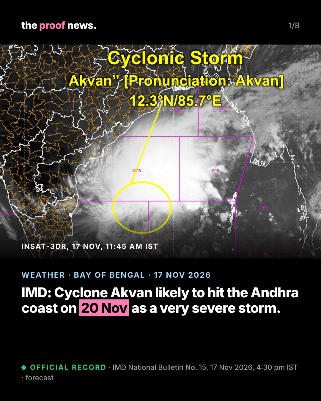
Official recordIMD's National Bulletin No. 15 (BOB/10/2026), issued at 4:30 pm IST on 17 November 2026, says Cyclonic Storm Akvan lay at 11:30 am near 12.3°N, 85.7°E, about 600 km east of Chennai, 650 km southeast of Machilipatnam and 660 km south-southeast of Visakhapatnam, moving slowly northwards at 3 km/h.
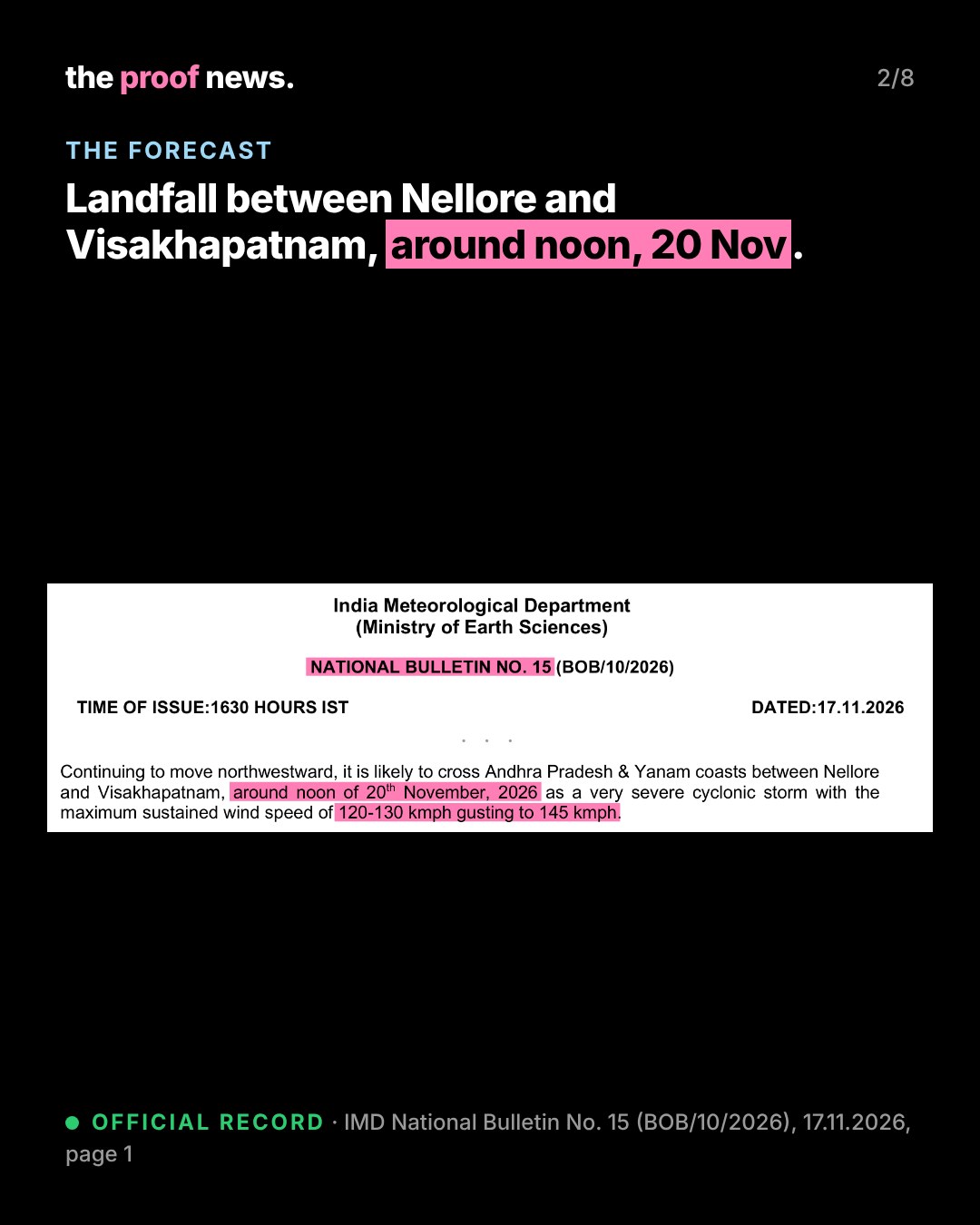
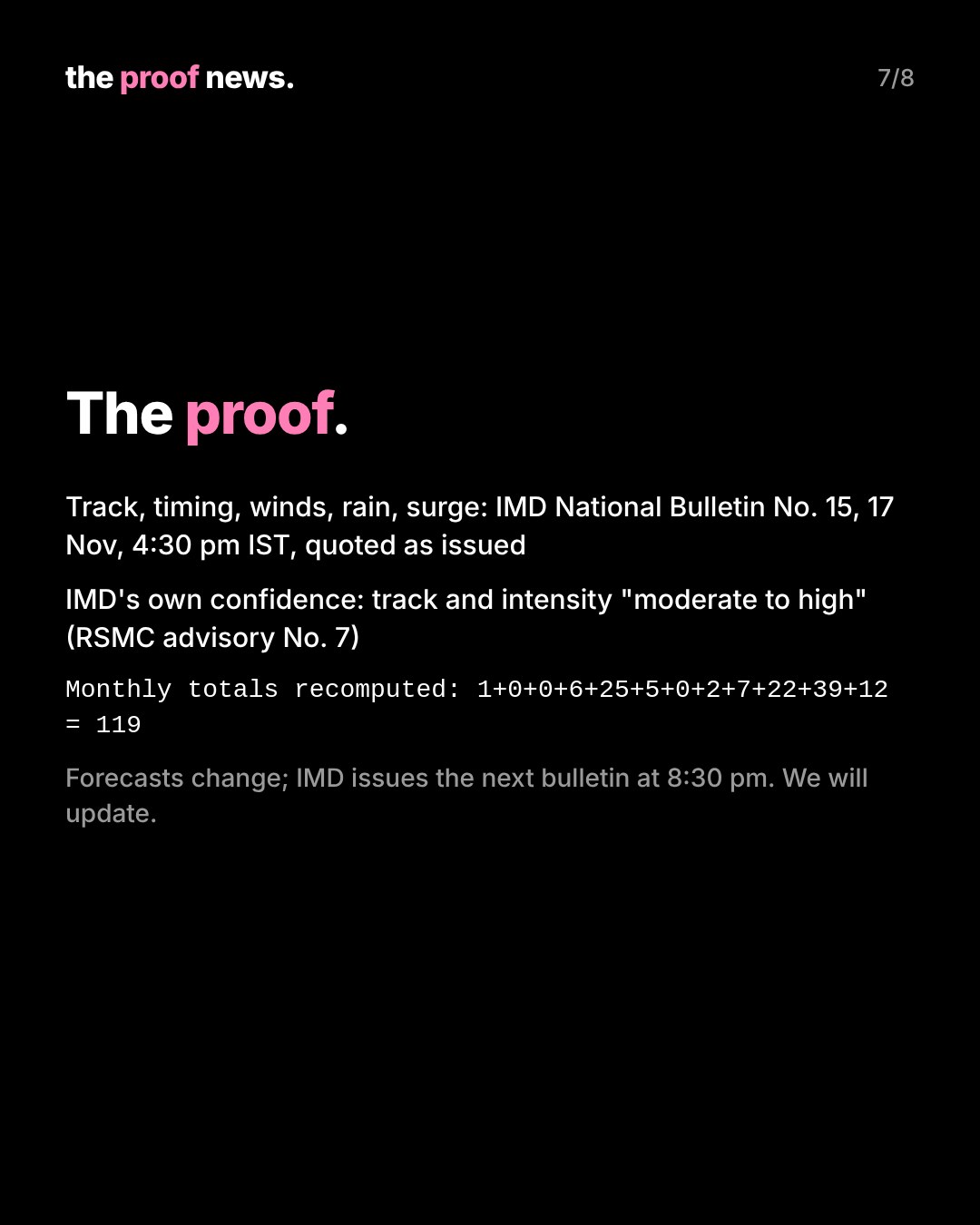
Official recordThe forecast, in IMD's words: it is likely to intensify into a severe cyclonic storm by the evening of 17 November and into a very severe cyclonic storm around the morning of 19 November, then "cross Andhra Pradesh & Yanam coasts between Nellore and Visakhapatnam, around noon of 20th November, 2026 as a very severe cyclonic storm with the maximum sustained wind speed of 120-130 kmph gusting to 145 kmph". IMD's RSMC advisory rates its confidence in the forecast track and intensity as "moderate to high" and notes that models diverge on the landfall location and time.
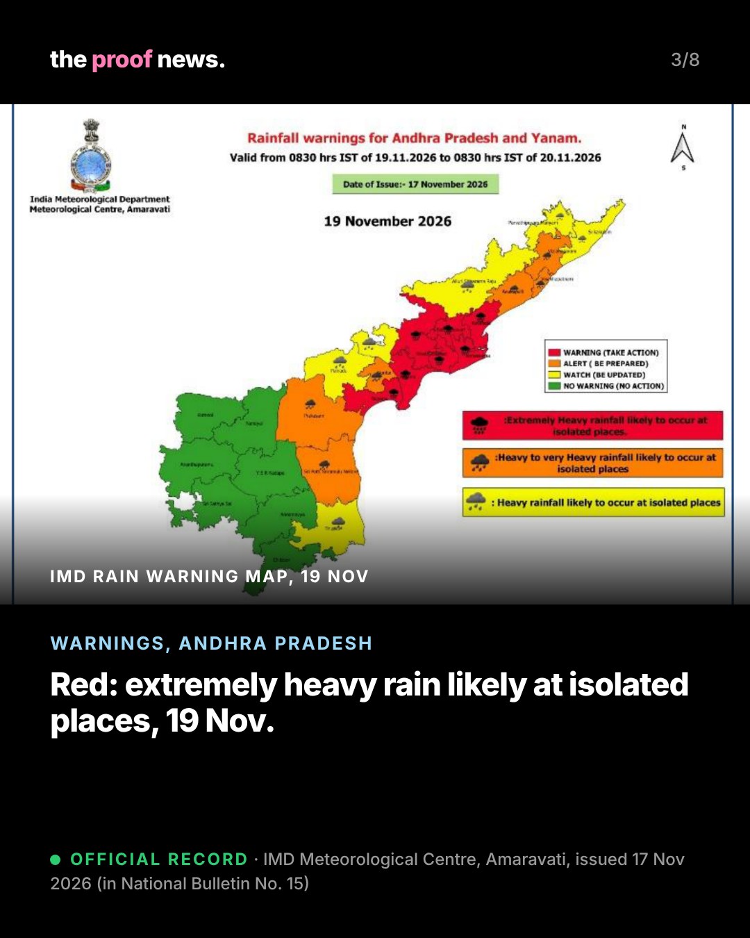
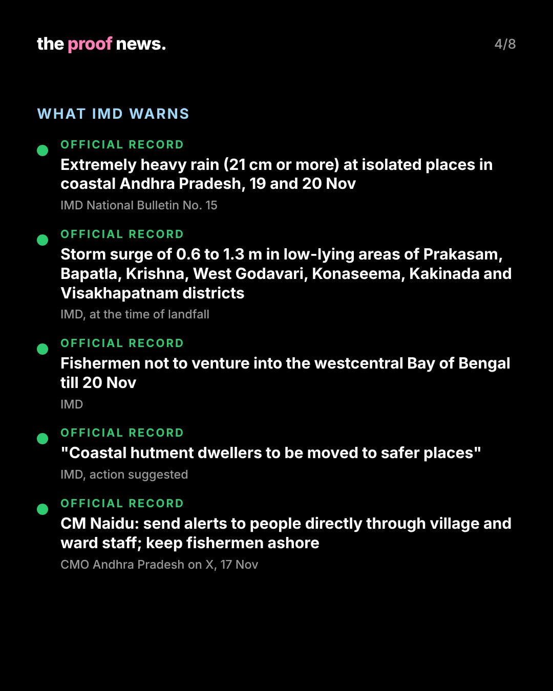
Official recordWarnings in the same bulletin: light to moderate rain at most places in coastal Andhra Pradesh with heavy to very heavy rain at a few places and isolated extremely heavy rainfall (21 cm or more) on 19 and 20 November; a storm surge of 0.6 to 1.3 m above the astronomical tide likely to inundate low-lying areas of Prakasam, Bapatla, Krishna, West Godavari, Konaseema, Kakinada and Visakhapatnam districts at landfall; gale winds of 120-130 km/h gusting to 145 km/h along and off the Andhra Pradesh and Yanam coasts from the night of 19 November till landfall; fishermen not to venture into the westcentral Bay of Bengal till 20 November. Rain warnings also cover north Tamil Nadu and Puducherry, Rayalaseema, south coastal Odisha, Telangana, Chhattisgarh, Gangetic West Bengal, Jharkhand, east Vidarbha and east Madhya Pradesh.
Official recordUpdate, 18 November, 4 am IST (IMD National Bulletin No. 20): the storm lay near 12.6°N, 85.6°E at 2:30 am, about 620 km south-southeast of Visakhapatnam, moving slowly north. IMD now expects it to become a severe cyclonic storm on the morning of 18 November and a very severe cyclonic storm around the evening of 19 November (earlier: the morning of 19 November). At that time the landfall forecast was still between Nellore and Visakhapatnam around noon on 20 November, 120-130 km/h gusting to 145 km/h (since changed: see the update at the top). The storm surge forecast is now 0.4 to 1.2 m (earlier 0.6 to 1.3 m).
Official recordUpdate, 17 November evening: IMD's National Bulletin No. 16, issued at 6:15 pm IST, keeps the same forecast: the storm lay near 12.3°N, 85.6°E at 2:30 pm, about 650 km south-southeast of Visakhapatnam, and is likely to cross the Andhra Pradesh and Yanam coasts between Nellore and Visakhapatnam around noon on 20 November as a very severe cyclonic storm, 120-130 km/h gusting to 145 km/h. The storm surge warning (0.6 to 1.3 m) is unchanged; IMD adds that the peak surge is expected over Bapatla, Krishna, West Godavari and Kakinada districts from the morning to the afternoon of 20 November.
Official recordIMD expects "major damage to thatched houses/huts/kutcha houses", damage to power and communication poles and to standing crops, and suggests moving coastal hutment dwellers to safer places and suspending fishing.
Official recordThe state: the Chief Minister's Office posted (in Telugu) that N. Chandrababu Naidu held a teleconference on Akvan, ordered weather alerts to be sent to people in affected areas continuously and directly through village and ward secretariat staff, and asked that fishermen be kept from going to sea. It said heavy rain is expected on 19 and 20 November.
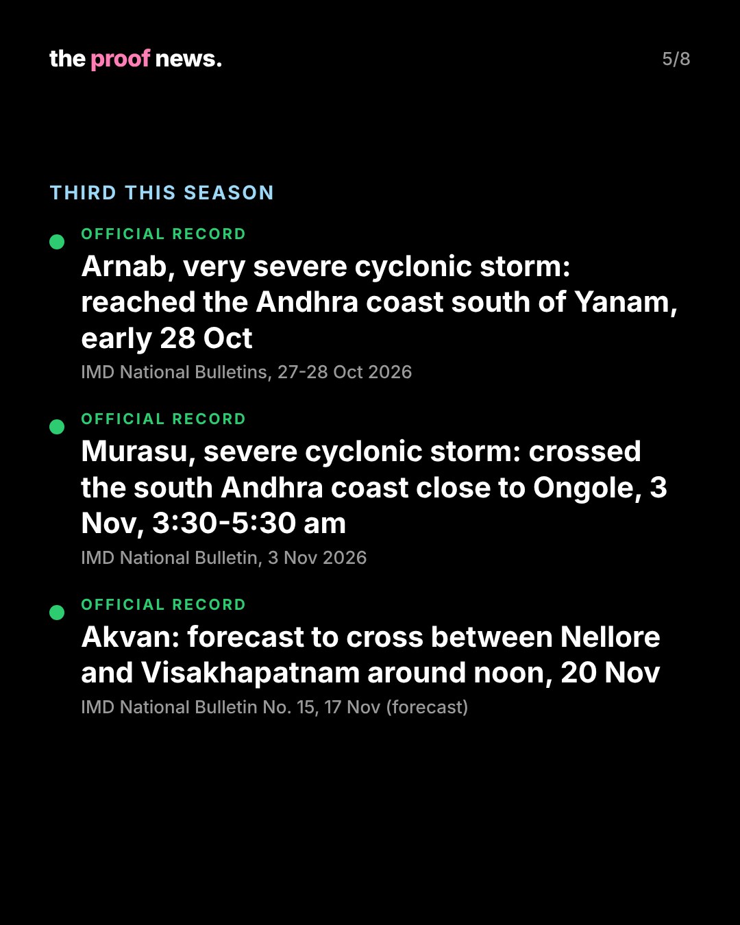
Official recordThe season so far, from IMD's bulletins: Very Severe Cyclonic Storm Arnab was crossing the Andhra Pradesh and Yanam coasts close to the south of Yanam in the early hours of 28 October and lay over coastal Andhra Pradesh near Narsapur by 11:30 am that day. Severe Cyclonic Storm Murasu crossed the south Andhra Pradesh coast close to Ongole between 3:30 and 5:30 am on 3 November with winds of 100-110 km/h gusting to 120 km/h. If Akvan crosses the Andhra Pradesh coast it would be the third in under four weeks; IMD's latest landfall range, between Narsapur and Puri, also covers the south Odisha coast.
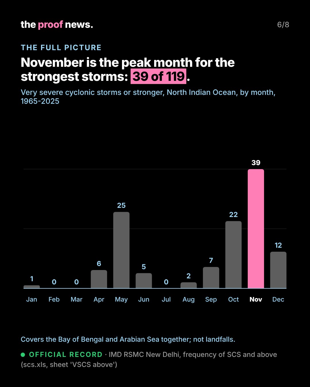
Official recordThe full picture: IMD's RSMC New Delhi climatology table counts 119 storms that reached very severe cyclonic storm strength or more (64 knots or above) over the North Indian Ocean from 1965 to 2025. November has the most, 39 (about one in three), ahead of May (25) and October (22). The table covers the Bay of Bengal and the Arabian Sea together and counts storms by month, not landfalls.
CommentaryCaveat: these are forecasts. IMD revises them every few hours; this page was last updated with IMD's National Bulletin No. 23 (2:30 pm IST, 18 November).
The proof.
proofs/e17-cyclone-akvan/dossier.md
- IMD National Bulletin No. 15, 17 Nov 2026 (PDF)
- RSMC New Delhi Tropical Cyclone Advisory No. 7 (PDF)
- IMD observed and forecast track graphic
- IMD National Bulletin on Arnab, 28 Oct 2026, 11:30 am
- IMD National Bulletin on Murasu, 3 Nov 2026
- IMD RSMC climatology: frequency of SCS and above (XLS)
- CMO Andhra Pradesh on X, 17 Nov 2026
- IMD National Bulletin No. 16, 17.11.2026, 1815 IST
- IMD National Bulletin No. 20, 18.11.2026, 0400 IST
- IMD National Bulletin No. 21, 18.11.2026, 0930 IST (PDF)
- IMD National Bulletin No. 22, 18.11.2026, 1300 IST (PDF)
- IMD National Bulletin No. 23, 18.11.2026, 1430 IST (PDF)
- IMD RSMC Tropical Cyclone Advisory No. 15, 18.11.2026 (PDF)
- Follow-up, 18 Nov: the forecast shift
